Community partnership
The Fort at Butt's Hill
 LiDAR hillshade of the Butts Hill Fort earthworks.
HEVA Lab collaborates with the Battle of Rhode Island Association (BoRIA) at Butts Hill Fort in Portsmouth, Rhode Island — the largest surviving Revolutionary War fortification in southeastern New England. The fort served as the American headquarters during the Battle of Rhode Island on August 29, 1778, the largest military engagement of the war within the former colony — and the first official allied military cooperation between French and American forces. The battle was fought in part by the First Rhode Island Regiment, the first military unit in American history to enroll Black and Native American soldiers, whose members helped construct the fort. The site is listed in the National Register of Historic Places and, since 2021, on the National Historic Trail of the Washington-Rochambeau Revolutionary Route.
Supporting the Association's effort to preserve and interpret the site, HEVA members carried out a non-invasive geophysical survey of the fort, integrating magnetometry and ground-penetrating radar (GPR) to map buried earthworks and features without disturbing the ground.
This work was presented as “Integrating magnetometry and ground penetrating radar at the American Revolutionary War fortification in Butts Hill Fort (Portsmouth, Rhode Island, USA)” by Koontz, Wise, Nolin, Keppeler, Rodriguez, Mink, Crothers, Murphy, Robertson, Uhl, Bailey, and Reyes-Centeno at CAA 2026 (University of Vienna).
Virtual Exhibition — Celebrating America's 250th
In celebration of the nation's semiquincentennial, HEVA members helped create EduceLab's Virtual Exhibition of the American Revolution Fortification at Butts Hill. The exhibit brings together historical maps of the fort's dynamic re-configuration under alternating American and British occupation, 20th- and 21st-century aerial imagery, and the team's recent LiDAR, magnetometry, and GPR data — viewable superimposed on modern maps and satellite imagery in 2D, and on an immersive 3D LiDAR model alongside artifacts and reenactors brought together by BoRIA and the Artillery Company of Newport.
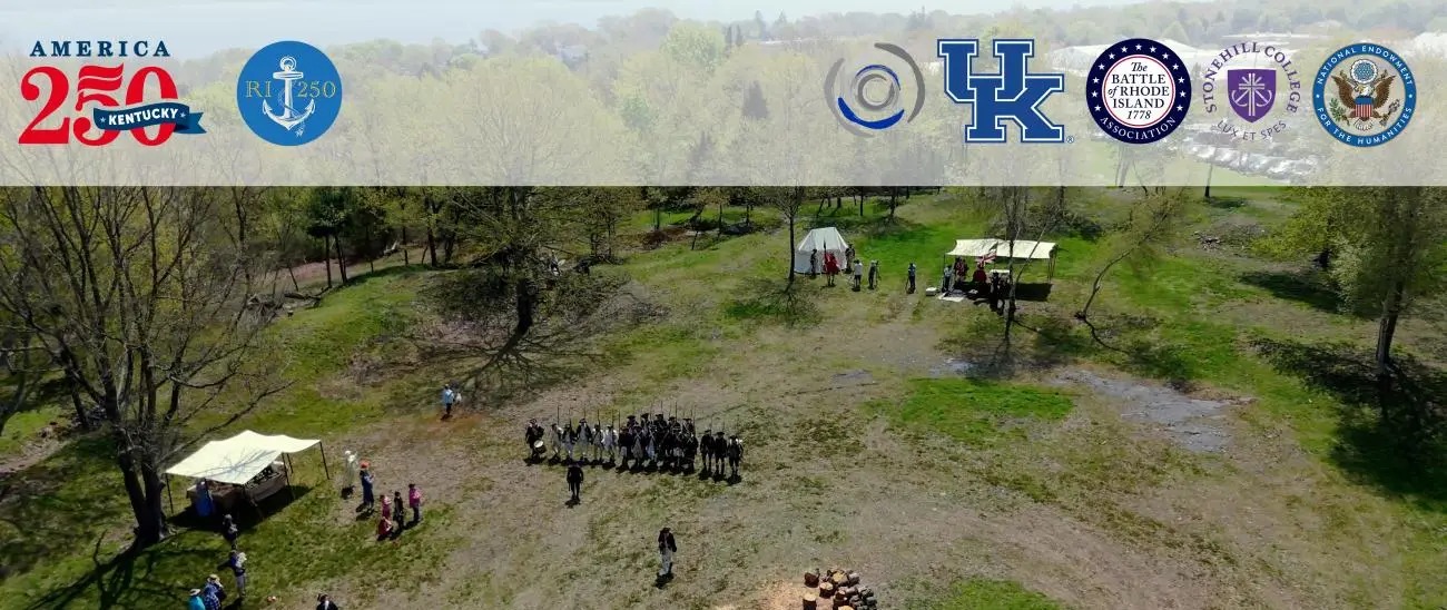 Explore the Virtual Exhibit →Interactive 2D & 3D collections — historic maps, LiDAR, artifacts, and reenactors
The interactive exhibit website was designed and built by HEVA member Alexander Wise (Website Coordinator and Content Manager), with HEVA member Samuel Koontz as Archaeological Field Director and 3D Digital Assets Coordinator. The project is directed by HEVA Lab director Dr. Hugo Reyes-Centeno and co-directed by Alexandra Uhl (Stonehill College), and was funded by the U.S. National Endowment for the Humanities (Celebrate America! Chairman's Grant in Honor of America's 250th Anniversary, Award No. ZZ-309418-25), the van Beuren Charitable Foundation, and the Battle of Rhode Island Association, with additional support from the U.S. National Science Foundation and the University of Kentucky.
Learn more about the Battle of Rhode Island Association →